
TL/DR –
The snowfall in the Washington region was not significant due to mild temperatures and a short duration of snow. Different areas received varied snowfall, with the highest amount recorded being 8 inches near Sabillasville in northern Frederick County. Although the storm brought nearly an inch of rain, insufficient cold air prevented it from becoming a more formidable snowstorm.
Washington’s Winter Weather Updates
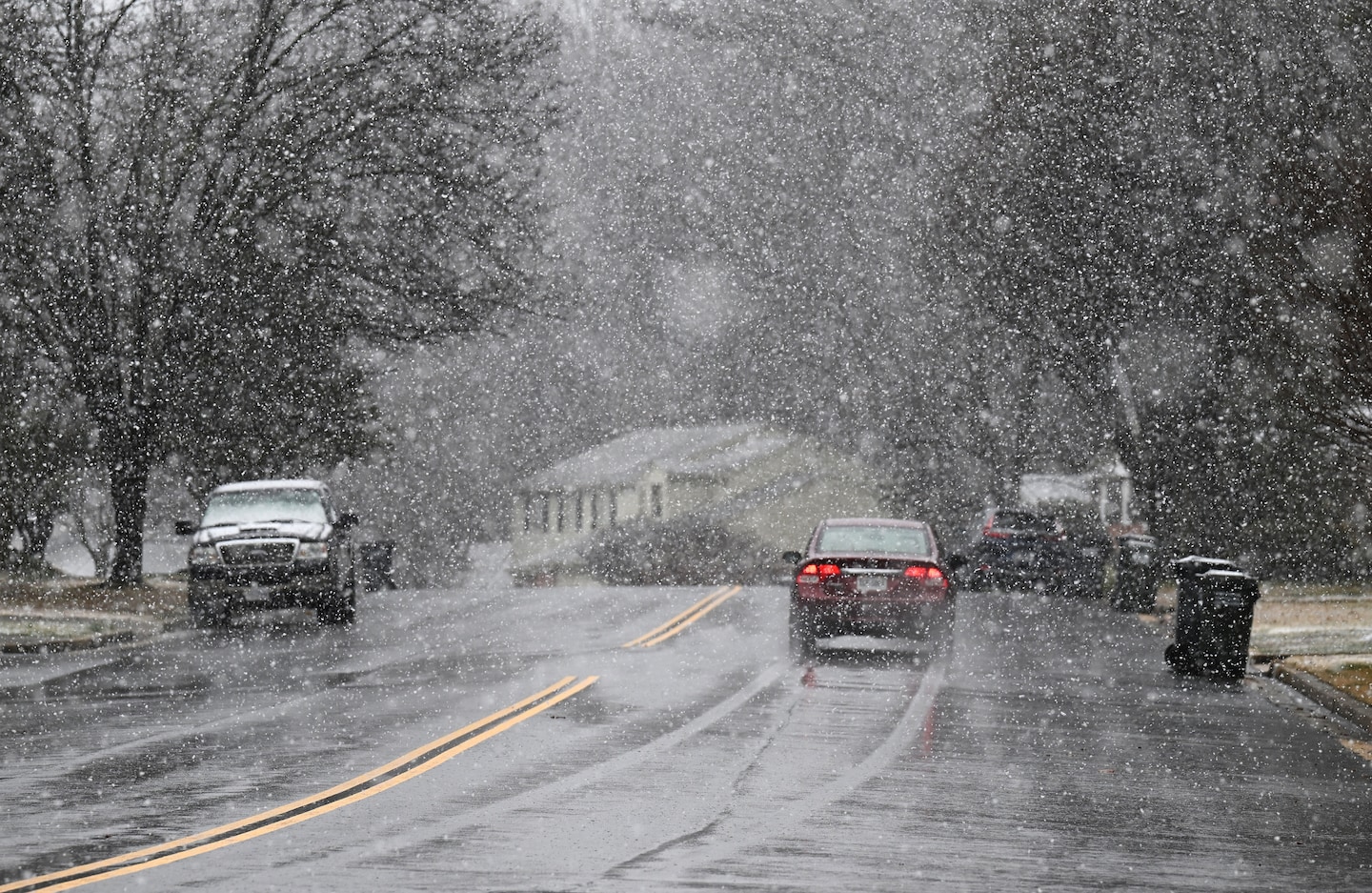
Tuesday’s snowfall in the Washington region was relatively light due to milder temperatures and short duration. After Monday night’s rain, the precipitation transitioned into wet snow for a few hours on Tuesday morning.
The snow had minimal impact on the area due to above-freezing temperatures preventing it from sticking. However, some schools opted for a delayed start due to weather conditions. The amounts of snow varied in different regions, with mostly trace amounts in the immediate area. However, the amounts increased somewhat north and west of the Beltway due to colder temperatures.
Once the snow moved off, the temperatures quickly rose into the 40s, causing rapid melting. More substantial snowfall was observed in northern Maryland, near the Mason-Dixon Line. Here, the snow lasted longer and the air was colder.
Snowfall Totals Around the Region
Here are some select snowfall totals reported to the National Weather Service:
- Manchester, Md.: 4.1 inches
- Emmitsburg, Md.: 3.0 inches
- Lovettsville, Va.: 2.0 inches
- Westminster, Md.: 2.0 inches
- Damascus, Md.: 1.6 inches
- Frederick, Md.: 1.0 inches
- Herndon, Va.: 0.7 inches
- Leesburg, Va.: 0.6 inches
- Dulles Airport: 0.6 inches
- Chantilly, Va.: 0.6 inches
- Centreville, Va.: 0.1 inches
The maximum recorded snowfall was 8 inches near Sabillasville, in northern Frederick County. This snowfall was on the southern edge of a powerful nor’easter that brought up to 15 inches of snow from northeast Pennsylvania into Southern New England.
The snowfall was consistent with the forecast of the Capital Weather Gang the day before. There was some initial uncertainty about whether it would snow at all, but it became clear on Monday that the storm would bring some cold air from the north.
With an almost inch of rain that fell, if all the storm’s precipitation had fallen as snow, it would have amounted to around 8 to 10 inches. A small area of storminess is predicted to sweep across the region from Friday night into Saturday, with possibilities of light snow or rain.
With no measurable snow at Reagan National Airport, Washington’s official observing location, the season’s snow total stands at 7.9 inches, slightly lower than the Feb. 13 seasonal norm of 9.3 inches. An additional 5.8 inches is needed for this winter’s total to reach the 1991-2020 average of 13.7 inches.
Read More Better Today US News
Comments are closed.